05/04/2014 –
For those of you not familiar with Minnesota winters, it’s the longest season of the year. It starts in September, and usually ends sometime around the 4th of July. Spring really isn’t a ‘season’ here, per say, but rather a ‘type’ of day. MN meteorologists consider any day between freezing and 85F a ‘spring’ day. Today happen to be one of the ‘spring’ days we get sprinkled into the last few months of winter.
Despite Old Man Winter’s efforts to keep us in a perpetual ice box, the MN Dept of Aeronautics does a wonderful of job of promoting aviation in the state. One of the programs they’ve come up with is called Fly Minnesota (yeah, we don’t spend money on marketing around here), which consists of a ‘passport’ that you get stamped at each MN airport you land at, aviation museum you visit, or safety seminar you attend. When you reach a certain number of stamps you get a hat, or a flight bag, or (for hitting them all) a leather flight jacket. This seemed like a great little adventure for the Cozy to embark on.
Being the Cozy is all about efficiency, I spent some time the last couple of weeks planning the most ‘efficient’ routes for hitting all 135 airports. I came up with a total of 8 routes. 7 of which would be completed in the Cozy, and a final ‘Turf Route’ for which I would rent a 172, to hit all the grass strips. Each of the 7 routes for the Cozy was between 12-18 airports, and the turf route was about 20 something. All were calculated to be 10-14 hour days of flying….yeah…bad plan.
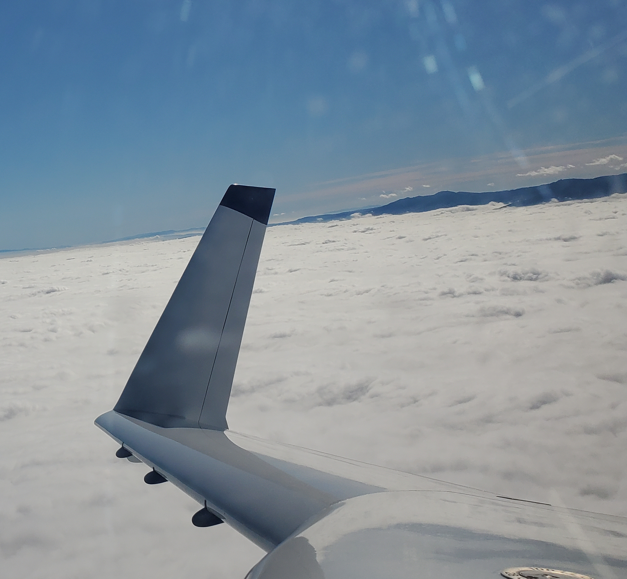
Today’s forecast was great for an attempt at Route 1. KSTC (my home field of St. Cloud) is centrally located in the state, and today’s route would have me flying a direct route west to the North Dakota border, then North to the Canadian border and back. Each airport was about 25-50nm apart. A couple of the fields were < 3000′ in length, which had me a little concerned. During flight testing I was able to confirm I could land (to full stop) and take off in less than 2000′, but I have still been mindful of runway length.
The first airport on today’s route would afford me a great way to confirm my tests from Phase 1. The field (Brooten, MN – 6D1) was 3500′ in length with a ramp access at exactly 1/2 way. With near zero winds, I made my approach at 80Kts, touched just past the numbers, and got on the Matcos hard. NO PROBLEM stopping before the turn off at 1750′. After some fiddling with the keypad access to the A/D building we found the passport stamper, and reloaded for takeoff (Christine and Ella were with me as well). With a T/O weight of about 1900lbs, I executed a short field take off. Normally I just set the elevator trim based on solo or 2up in the front, and let the canard come up on it’s own. But for a short field I purposely started pulling back about 55kts. The nose started coming up about 60kts, and moments later we were up, up, and away. I watched for the half way point, which passed about 50′ below me. Looking back at the datalog, it took 12 seconds from the moment I released the brakes to wheels up. There are few times I consider the added weight, expense, and hassle of my CS prop worth it. But this was of the few.
From Brooten we made a short hop to Morris, and an even shorter hop to Wheaton. Morris has nice little terminal building similar to Brooten, and both airports looked as though there was likely daily activity. Wheaton also had a nice terminal building, though I imagined there was probably less activity than at the previous two airports. As early as it was on a Saturday morning, there was no one to be found at any of the 3 airports.
The next hop was the shortest yet, at 16nm, to Herman MN. This was cutest little airport I’ve ever visited. It was clear that there was likely very little activity at this field, but I envisioned a few local pilots would gather here on a nice summer evening to regale each other of crop dusting stories from 50 years ago. I may have to make it a point to drop by this airport once in a while to see if I can meet the local pilots. The terminal building is tiny, but well kept. It saddened me to think about how many airports just like this one have been lost to ‘progress’ over the years. I’m thankful a few still exist, and right in my own back yard at that.
During each of these hops I was beginning to realize the flaw in my thinking regarding ‘efficiency’. We’d take off, climb for a couple of minutes at 115-120kts IAS, and then have to chop power to start the descent to the next airport. After a couple of these hops it was quickly losing it’s fun factor. The next hop was to Moorhead, and although it was slightly longer at 64nm, this was still only 20 minutes.
At Moorhead we took the courtesy car and headed to brunch….which turned into lunch, due to the insanely slow service offered up by the ‘Huddle House’ restaurant. It was the first billboard we saw on the highway leading to town from the airport. As we pulled into the parking lot my skepticism got the best of me. It looked like a truck stop after thought, and I declared we should find somewhere else, but we were already there, and admittedly, I was hungry. We should have continued the search elsewhere.
Over brunch/lunch we discussed the ‘unfun’ factor of the climb-descend flight profile we were conducting. The lack of cruise time to take in the scenery was being compounded by the very choppy conditions at low altitude. Ultimately we decided to press on as planned for a little bit and see how it went.
We got back to the airport, put the courtesy car away, and saddled up. As we taxied out to the runway I noticed we didn’t have GPS reception yet. I wasn’t overly concerned, it can sometimes take a few minutes to lock enough satellites, and I knew the heading I needed to fly. As we climbed out the GPS came online, and I proceeded to our next stop without a second thought.
But as I chopped power and started to descend I noticed the moving map seemed wrong, and I couldn’t pick out the field. When we ‘arrived’ over the top of the airport (according to the map), and we had nothing but cornfield below us I KNEW my suspicions were right. I made a 360 turn and tried to correlate my surroundings to the chart. I was pretty sure the GPS had us too far west, so I flew a 090 heading, and power cycled the avionics bus.
Just before the EFIS came back up I spotted a runway a few miles south. The freshly booted EFIS confirmed it was Ada, and the positions of roads and lakes now jived with the outside world. The turbulence was getting worse in the afternoon sun, so after stamping our passports at Ada, we started heading back.
We made one additional stop in Fergus Falls before heading direct for KSTC. Total flight time for the day was 3.3 hours, while collecting 8 stamps in our passports. Total time on the Cozy is now 101.2 hours. Wooohooo triple digits! And I learned/relearned a few valuable lessons.
1) 25nm legs are NOT for Cozy’s.
2) NEVER take off without the instruments you plan to use for the flight in full operational status. This is one of those “Duh!!!!” statements, but sometimes I need to be reminded.
3) Short Field + Constant Speed = No Problem.
I’m going to come up with a some new flight plans to hit the remaining 127 airports, but this time, I will focus on making fun trips instead of the fewest trips.


